
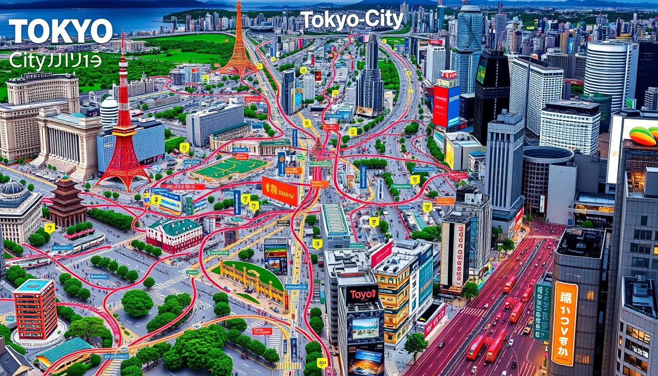
Stepping into Tokyo feels like entering a world full of lights, sounds, and endless possibilities. For first-time visitors, the city’s complexity can be overwhelming. The Tokyo city map is your key to turning confusion into confident exploration.
Navigating Tokyo is more than just knowing streets and directions. This guide will help you understand the city’s layout. You’ll go from being lost to being a savvy urban explorer. Your Tokyo city map will be your best friend, whether you’re looking for fun or culture.
Knowing Tokyo’s unique layout is key. The city has a complex network of neighborhoods, transportation, and cultural zones. This guide will teach you how to navigate Tokyo’s streets with confidence.
Table of Contents
Understanding Tokyo’s Major Districts and Zones
Tokyo’s urban landscape is a complex tapestry of unique districts and zones. Each offers its own distinct character and charm. As a visitor, exploring these areas can make your travel experience extraordinary. Let’s dive into the key Tokyo districts that make this vibrant metropolis special.
Central Business Districts
The heart of Tokyo’s economy lies in its central business zones. Marunouchi and Otemachi are prime examples of Tokyo’s corporate landscape. These districts feature modern architecture, high-rise buildings, and the pulse of Japan’s financial world.
- Marunouchi: Home to major corporate headquarters
- Otemachi: Financial district with international banks
- Tokyo Station area: Key transportation and business hub
Popular Tourist and Entertainment Zones
Your Tokyo adventure comes alive in the dynamic entertainment districts of Shinjuku and Shibuya. These areas represent the quintessential Tokyo experience. They blend modern culture with exciting urban energy.
| District | Key Attractions | Unique Character |
|---|---|---|
| Shibuya | Shibuya Crossing, Youth Fashion | Trendy Youth Culture |
| Shinjuku | Entertainment Districts, Nightlife | Vibrant Nighttime Scene |
| Ginza | Luxury Shopping, High-end Restaurants | Sophisticated Urban Lifestyle |
Residential and Cultural Districts
Beyond the bustling centers, Tokyo’s residential zones offer a glimpse into local life. Areas like Asakusa and Yanaka provide authentic cultural experiences. They showcase traditional Japanese architecture and community spirit.
- Asakusa: Traditional Japanese atmosphere
- Yanaka: Preserved historical neighborhood
- Residential zones with unique local charm
How to Read and Use the Tokyo City Map
Exploring Tokyo can be tough for newcomers. Learning to use a Tokyo city map well will make your trip better and more fun. It will also help you feel more confident as you explore this lively city.
- Color-coded district zones
- Scale and distance markers
- Public transportation lines
- Landmark identification symbols
Knowing what map symbols mean is key for easy travel. Tokyo maps use colors and icons to help visitors:
| Symbol Type | Meaning | Color Code |
|---|---|---|
| Train Station | Transportation hub | Blue circle |
| Tourist Information | Help centers | Green “i” symbol |
| Landmark | Historical site | Red triangle |
To use city map resources well, carry a physical map and digital tools. Digital maps give you updates as you go. Physical maps show you the big picture of Tokyo’s busy streets.
Pro tip: Learn some basic Japanese characters. This will help you match street signs with your map. It makes navigating less touristy areas easier.
Tokyo’s Public Transportation Network Overview
Getting around Tokyo’s transport system might seem hard at first. But once you get it, traveling becomes easy and fast. The city’s transport is known for being on time, clean, and covering almost every part of the huge city.
The city’s transport system is built around three main parts that work well together:
- JR Lines: The national railway network
- Tokyo Metro: Underground subway system
- Toei Subway: Municipal subway network
JR Lines and Major Stations
JR lines are the heart of Tokyo’s transport. They link big areas and go beyond the city. Important stations like Tokyo Station and Shinjuku Station are key. They are where many lines meet, making it easy to get around.
Tokyo Metro and Toei Subway Systems
The Tokyo Metro covers the city center with nine main lines. Toei Subway adds more routes in different parts of the city. These underground systems are easy to follow, with colors and numbers helping travelers.
Bus Routes and Alternative Transport
Buses are also a big part of Tokyo’s transport. They go where trains can’t, covering the whole city. For short trips or special routes, try bike-sharing or local taxis.
Pro tip: Get a rechargeable IC card like Suica or Pasmo. It makes traveling on all Tokyo’s transport systems easy.
Essential Landmarks for Tourist Navigation
Exploring Tokyo can be a bit daunting, but key landmarks make it easier. These iconic spots turn city travel into an exciting journey. They help you grasp the city’s complex layout.

Here are the most critical Tokyo landmarks for effective city navigation:
- Tokyo Tower: A distinctive red and white communications tower standing 333 meters tall, visible from many districts
- Tokyo Skytree: The world’s tallest broadcasting tower at 634 meters, offering unparalleled city views
- Metropolitan Government Building: A free observation deck providing panoramic city perspectives
- Imperial Palace: A central reference point in downtown Tokyo
These landmarks are key for quick orientation. Tokyo Tower and Skytree serve as great visual guides. They help you spot your location from almost anywhere.
Remember, these landmarks are more than just sights. They’re crucial for navigating Tokyo’s complex streets. Each landmark is a unique guide through different city areas.
Pro tip: Download offline map apps that mark these landmarks. It will make navigating Tokyo’s lively streets easier and less confusing.
Digital Navigation Tools and Apps for Tokyo
Traveling in Tokyo can be tough, but digital tools have made it easier. Now, you can explore the city with confidence using Tokyo’s best apps and tools.
Smart digital solutions are key for navigating Tokyo’s complex streets. Your phone can be your best travel buddy with the right apps and offline maps.
Top Navigation Apps for Tokyo Travelers
- Japan Travel by NAVITIME: Comprehensive transit routing
- Google Maps: Detailed street-level navigation
- Hyperdia: Precise train and subway schedules
- Tokyo Metro Official App: Subway-specific information
Offline Map Solutions
It’s important to have offline maps for Tokyo. Many apps let you download maps before you go. This way, you can navigate without needing internet.
- Download maps while connected to Wi-Fi
- Use apps like Maps.me for comprehensive offline coverage
- Save specific routes and districts in advance
Real-time Transit Updates
Keep up with Tokyo’s fast transit system with real-time updates. These tools give you the latest on train delays, route changes, and more.
- Track train and subway schedules instantly
- Receive notifications about service interruptions
- Access multilingual transit information
Pro tip: Always have a backup offline map and download transit apps before arriving in Tokyo to ensure smooth navigation.
Walking Routes and Pedestrian Areas
Walking in Tokyo is a great way to see the city’s lively streets and secret spots. The city’s walking paths let travelers explore different neighborhoods and learn about its culture.
When planning your walk, check out these top spots:
- Ginza District: A top shopping area with wide sidewalks and lots to see
- Harajuku: A trendy place for walking and watching people
- Asakusa: A historic area with old streets and cultural sites
To navigate Tokyo’s walking paths, follow these tips:
- Walk on the left side of the sidewalk
- Follow local walking rules
- Most paths in central Tokyo have clear signs in English and Japanese
Here are some walking tips for Tokyo:
- Wear comfy shoes for walking
- Bring a map or use a navigation app
- Be careful of bike and walking paths
- Use crosswalks and follow traffic lights
There are great walking paths that link major sights. These paths are mostly flat and easy to get around, perfect for everyone.
Understanding Tokyo’s Address System
Visiting Tokyo can be tough because of its address system. It’s very different from what you might be used to. Finding places in Tokyo can be a big challenge for tourists.
The Japanese way of addressing places is unique. It’s based on blocks, not street numbers. This means you need a special way to find your way around.
Decoding the Address Structure
- Addresses start with the largest geographic unit (prefecture)
- Followed by the ward (ku)
- Then the district or neighborhood (cho)
- Next, the city block (chome)
- Finally, the specific building number
Practical Location Finding Strategies
To find places in Tokyo, you need to learn a few tricks. Landmarks are key because street names are not often used.
| Navigation Method | Effectiveness |
|---|---|
| Landmark Reference | Highly Effective |
| Local Ask Directions | Very Helpful |
| Digital Map Apps | Reliable |
Overcoming Navigation Challenges
Here are your best tools for Tokyo’s address system:
- Carry a detailed city map
- Use smartphone navigation apps
- Learn basic Japanese location phrases
- Identify nearby major landmarks
Pro tip: Always have your destination’s address written in Japanese to show local residents or taxi drivers for precise navigation.
Major Tourist Attractions and Their Locations
Tokyo is a city full of amazing sights. It mixes old traditions with new excitement. Your trip will show you the city’s deep history and lively modern side.

- Imperial Palace: In the heart of Tokyo, it has stunning gardens and buildings.
- Senso-ji Temple: An old Buddhist temple in Asakusa with unique architecture.
- Meiji Shrine: A peaceful place surrounded by greenery.
- Tsukiji Outer Market: A food lover’s dream for real Japanese dishes.
Planning your trip to Tokyo’s attractions is key. The city’s public transport makes getting around easy. You can quickly get to these spots using the metro.
Tip: Get a transit pass to travel easier. Most places are near train or subway stations. This lets you see more in less time.
Use digital maps and translation apps to help you. They make exploring Tokyo’s many sights easier and more fun.
Emergency Navigation and Important Points
Navigating Tokyo can feel overwhelming. But knowing key emergency resources will help you stay safe and confident during your trip. It’s crucial to understand Tokyo’s emergency services and support systems for any traveler.
Tokyo is one of the safest cities worldwide, thanks to its extensive support for tourists. The city’s emergency infrastructure includes several critical components designed to assist visitors.
Police Stations and Koban Locations
Koban locations are small neighborhood police stations throughout Tokyo. These centers provide immediate assistance and tourist information. You can easily spot them by their distinctive blue and white signs.
- Koban locations are typically found in:
- Major train stations
- Busy commercial districts
- Popular tourist areas
- Residential neighborhoods
Medical Facilities for Travelers
Tokyo offers world-class medical facilities with English-speaking staff. International clinics and hospitals are equipped to handle various medical needs for tourists.
- Key medical resources include:
- 24-hour emergency clinics
- Hospitals with international departments
- English-speaking medical professionals
Tourist Information Centers
Tourist information centers are your go-to resource for navigating Tokyo. These centers provide maps, local guidance, and emergency contact information to help you feel secure during your visit.
- Major tourist information centers are located in:
- Narita Airport
- Haneda Airport
- Tokyo Station
- Shinjuku Ward
Always carry the local emergency numbers and keep your accommodation’s contact information handy. Preparation is key to a safe and enjoyable Tokyo experience.
Seasonal Routes and Weather Considerations
Exploring Tokyo’s varied landscapes needs careful planning for each season. The weather greatly affects your travel experience. Each season offers its own set of challenges and opportunities for discovering the city’s lively routes.
Spring turns Tokyo into a canvas of cherry blossoms. The best routes during this time include:
- Ueno Park cherry blossom trails
- Chidorigafuchi walking paths
- Meguro River sakura route
Summer requires smart route planning due to the heat. To navigate well, consider:
- Choosing air-conditioned transportation
- Planning activities for early morning or evening
- Staying hydrated and wearing light clothes
| Season | Navigation Tips | Key Attractions |
|---|---|---|
| Spring | Light jacket, comfortable walking shoes | Cherry Blossom Spots |
| Summer | Carry water, use light routes | Festivals, Indoor Museums |
| Autumn | Layer clothing, explore foliage routes | Colored Leaf Parks |
| Winter | Warm clothing, check transit schedules | Winter Illuminations |
Autumn brings stunning foliage routes. Winter needs careful transit planning due to snow. Being flexible is crucial when exploring Tokyo’s seasonal landscapes.
Tokyo City Map Access Points and Information Centers
Finding reliable tourist maps and information centers in Tokyo makes navigating the city easy. Your adventure in this lively city begins with the right resources. These guides help you through Tokyo’s complex streets and varied neighborhoods.
Tokyo has many convenient map access points all over the city. These centers give you essential tourist maps for different interests and areas.
- Tokyo Tourist Information Center (TTIC) locations:
- Tokyo Station
- Haneda Airport
- Narita Airport
- Shinjuku Metropolitan Government Building
- Free tourist maps available in:
- Major train stations
- Hotel lobbies
- International airports
- Ward office information desks
Digital kiosks have changed how we get tourist maps. They offer interactive displays for exploring Tokyo’s complex urban area. These touch-screen systems give real-time navigation and detailed district info.
| Map Type | Location | Language |
|---|---|---|
| City Overview Map | Tourist Information Centers | English, Japanese |
| District-Specific Map | Local Ward Offices | Multiple Languages |
| Digital Interactive Map | Major Train Stations | English, Japanese, Chinese |
When looking for tourist maps, find multilingual resources for clear city navigation. Most information centers offer free maps. These can make your Tokyo exploration smooth and fun.
Conclusion
Exploring Tokyo becomes easier when you learn its unique ways of navigating. Use both old maps and new digital tools to move from lost tourist to confident traveler. Tokyo’s navigation isn’t just about finding your way. It’s about understanding the city’s complex beauty.
Digital apps and maps help you find your way around Tokyo. Learn to read Japanese signs, get the subway system, and use real-time updates. Each area of Tokyo has its own vibe, from busy business spots to quiet homes.
Getting around Tokyo takes patience and flexibility. Knowing your maps well opens up hidden spots and famous sights. See Tokyo’s complex design as a chance for adventure, not a problem. With the right tools and attitude, getting lost can be the best part of your trip.
Before you go, practice with maps, download useful apps, and learn about key travel paths. Your confidence will grow, making Tokyo a fun and easy place to explore.
SEE MORE ABOUT JAPAN:
What to Do in Japan:Best Travel Guide Ever In 2025
Expert Japan Travel Planner:Plan Your Perfect Japan Trip
Beyond Tokyo: Best Non City Tokyo Attractions & Sights